
About Lucie

This author has not yet filled in any details.
So far Lucie has created 112 blog entries.

Wine, Cheese, Beer & Sausage Tasting & Quiz!

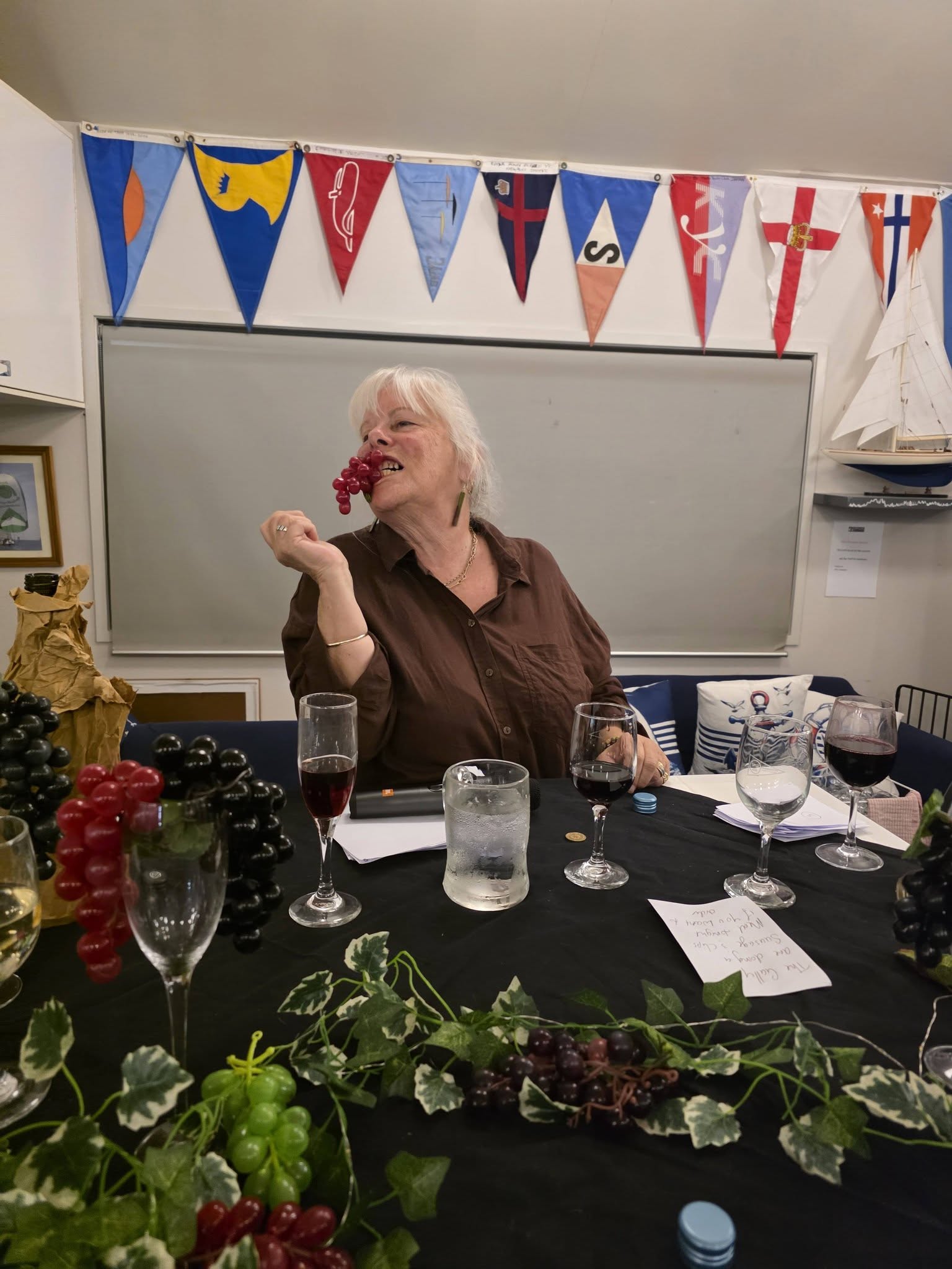
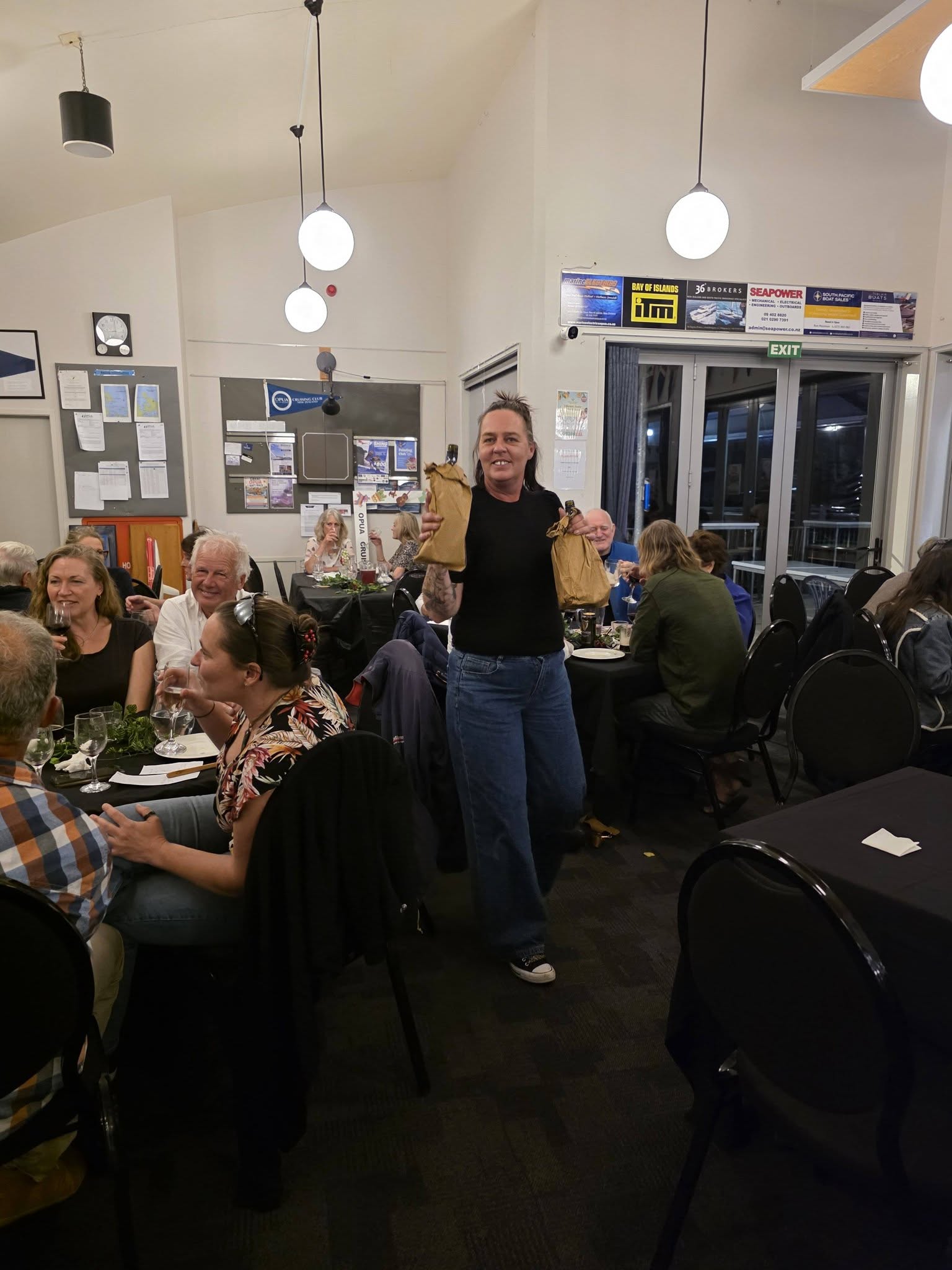
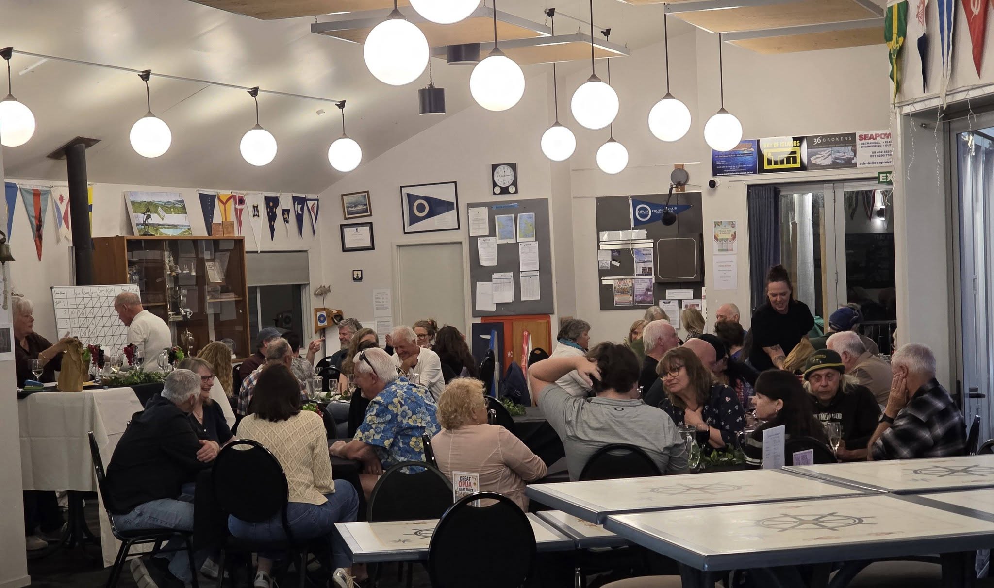
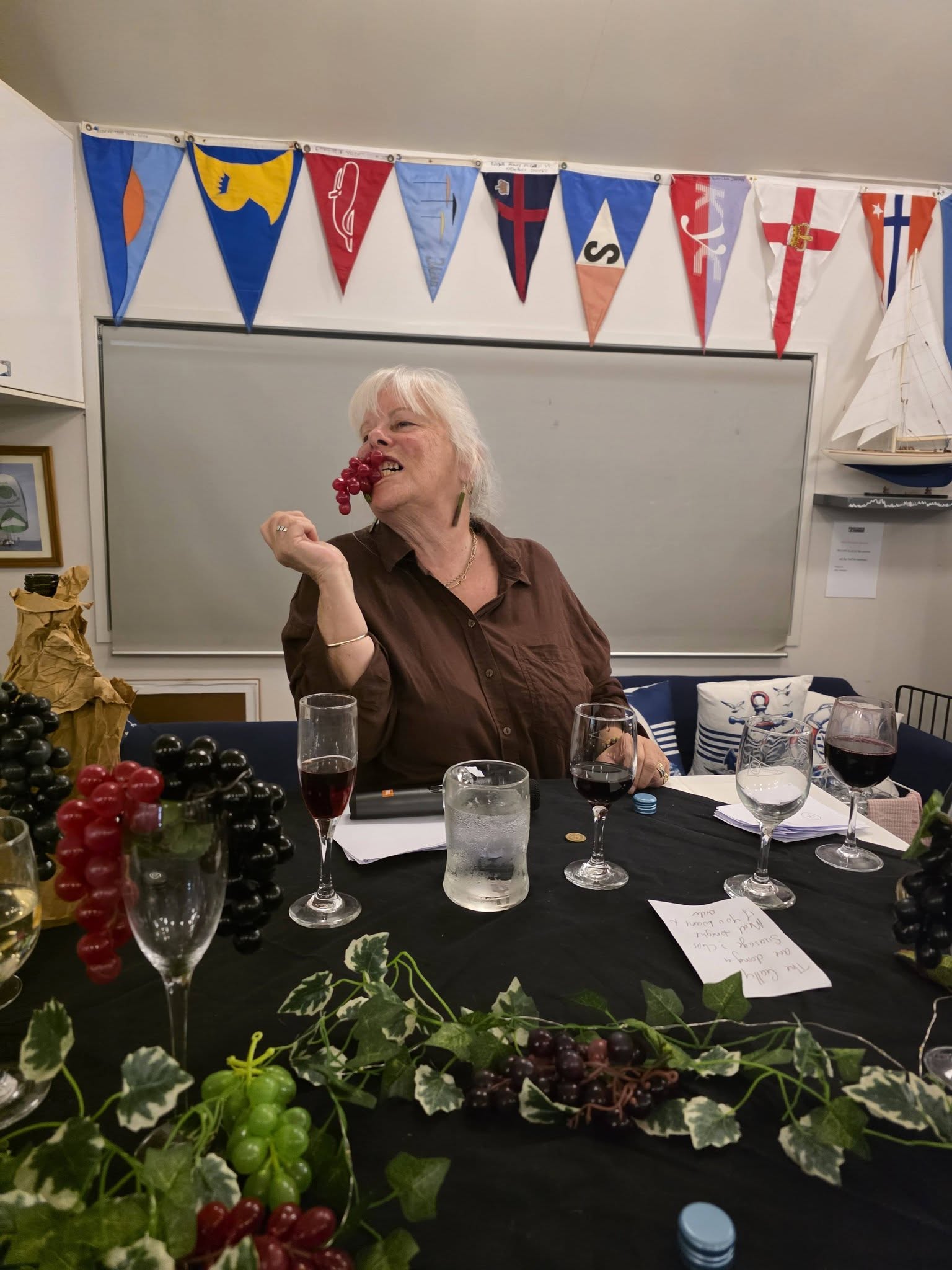
Join us for a fun evening of tasting, testing your knowledge and enjoying some great company! Sample a selection of wines, cheeses, beers and sausages, then put your taste buds and general knowledge to the test with our quiz.

Saturday the 17th October starting at 6pm.

Tickets are just $15 but numbers are limited, so grab your ticket early and come along for a relaxed and entertaining evening!

2026-10-05T11:55:46+13:005 October 2026|General, Social|

The Equinox

Welcome to another season of Daylight saving.

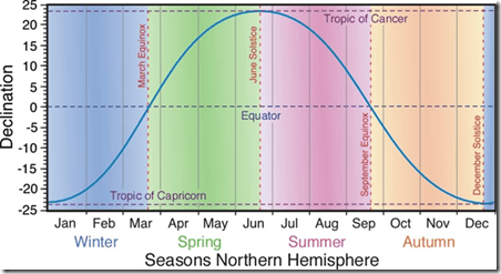
Our vernal (spring) equinox (Latin for equal night) was at lunchtime on Wed 23 September.  That’s a special moment in the earth’s orbit, and it fittingly picked by many to mark the start of the Southern hemisphere SPRING. Daylight saving kicks in the following Sunday.

The best definition of the equinox is when the sun, as seen from earth, is directly overhead the equator.

As viewed from earth the sun is directly overhead a different latitude every day of the year. The difference between this latitude and the equator is called the sun’s declination, as all navigators know already.

Bob McDavitt

MetBob. Bob McDavitt is the weather guru that uses //etBoB to provide meteorological information for cruising sailors, primarily for those in the South Pacific.

Although equinox comes from Latin for qual night, it is only a 12 hour day if you measure sunrise and sunset using the MID-POINT of the sun. Sunrise and sunset tables actually use the top limb of the sun so that, plus atmospheric refraction, adds an extra 5 to 8 minutes of (rather dull) sunlight. The name given to the day with 12 hours exactly sunlight/darkness is the equilux – in New Zealand that’s between19 and 20 Sept.

From now on the days will lengthen. But the rate is not linear—Auckland’s dawn is getting earlier at the rate of 10 minutes per week at present, but dusk is only getting later at the rate of 6 minutes per week. At the equinox the delimiter (line on the earth dividing day and night) is shaped like a square wave and during the next few months or so it slowly reshapes into a sine wave. You can watch this by downloading the program Home Planet from http://www.fourmilab.ch/homeplanet/ and watching this in the animate mode.

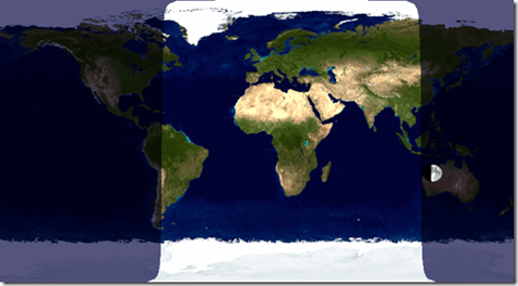
The Delimiter is a square wave at the equinox

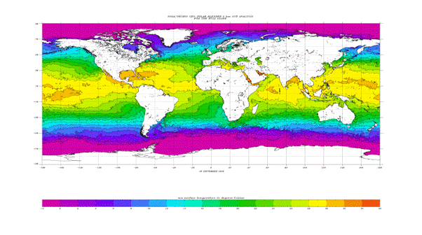
There is a lag between the change in increasing sunlight and the spot with the warmest temperatures on earth. The lag in the ocean is a few weeks more than in the land. Currently the warmest SST band in the open part of the Pacific is at around 8 deg N.

Sea surface temperatures. The warmest isotherms are coming south.

Note that the 28C isotherm in the South Pacific already extends as far as between Samoa and Fiji. It is extending southwards at a steady rate. This is the time of the year that the subtropical ridge—that zone which divides the trade winds from the roaring 40s – starts to drift southwards. As it drifts south, the isobars on its southern side may bunch closer together in places, and that increases the disturbed westerly winds in the  roaring 40s. This period, known as equinoctial gales, is likely to last until mid-November. A strong El Nino encourages these gales.    

Bob McDavitt

2026-09-28T14:54:25+13:0028 September 2026|Weather|

Reminder – Skippers meeting this Wednesday

The 26/27 racing season is almost upon us!

We have an opening season fun race scheduled for 27th September with the 1st Wednesday night race set for 30th September. Before this I would like to hold a skippers meeting on Wed 23rd Sept to discuss various things, such as; Do we continue with 2 Divisions, Friday race format, Handicap system.

If you have anything to discuss, please send it to raceofficer@opuacruisingclub.co.nz. so that it can be included on the night.

Andy Vanasche
Commodore
Opua Cruising Club

2026-09-21T14:07:50+12:0021 September 2026|General, News, Social|

SAILING CREW WANTED

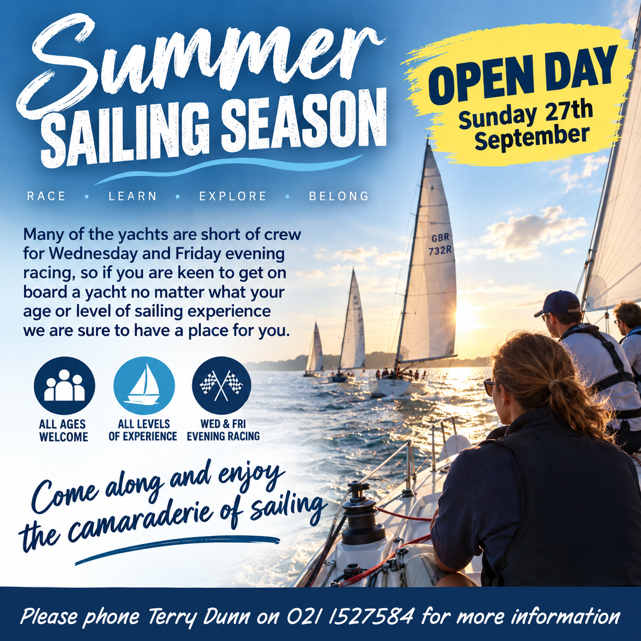
Opua Cruising Club starts its Summer Sailing Season with an open day on Sunday 27th September.

Many of the yachts are short of crew for Wednesday and Friday evening racing, so if you are keen to get on board a yacht, no matter what your age or level of sailing experience, we are sure to have a place for you.

Come along and enjoy the camaraderie of sailing!

Please phone Terry Dunn on 021 1527584 for further information.

2026-09-21T14:03:34+12:0021 September 2026|General, News, Social|

Members’ draw Saturday 5th Sept

Opua Cruising Club is holding its annual members’ draw this Saturday at 7pm.

To participate, members will need to be on the Club premises prior to 7pm this Saturday, 5th September, with their current Membership Card to enter. Please note that anyone who has paid membership for 202-27 but has not collected their cards can do so from the bar or office.

The draw will start promptly at 7pm.  Membership cards will be collected and used to identify the winners, who will each pick a number to identify the prize they have won.

Prizes include generous donations, including two $250 vouchers for Bay of Islands Boatyard, a $50 bar tab from OCC and six bottles of Villa Maria wine. There will also be a meat raffle held on the night. Come along and have some fun!

2026-09-01T16:32:48+12:001 September 2026|General, News, Social|

The Session- Saturday 5th September

The Session- Saturday 5th September

Join us for the next “The Session” Original Music event.

WHAT IS THE EVENT ABOUT?
A Celebration of Original Bay of Islands Music filled with home-grown sound and creative energy.

“The Session” is held once a month on Saturdays from 4 pm to 7 pm and is an exciting line-up of original music composed and performed by musicians who call the region home. Just original music or an original rendition of a Covers too will do.

Designed as a platform for local artists to share new work, The Session highlights the depth of musical talent thriving across the Bay of Islands.

Audiences can expect an eclectic mix of genres, fresh compositions, and the unmistakable character that comes from music shaped by the people and landscapes of Northland.

The Session is about giving our musicians a space to be bold, to experiment, and to be heard.

There’s something special about original music performed in the place it was created. It connects the community in a way nothing else does.

The event promises an intimate, inspiring atmosphere where audiences can discover new artists, support established local performers and experience the creative pulse of the region. Music lovers and creators from across Northland are warmly invited to attend and celebrate the vibrant artistic community of the Bay of Islands.

2026-08-25T12:55:56+12:0025 August 2026|General, News, Social|

Breaking records

YES the oceans are breaking records!

Bob McDavitt

MetBob. Bob McDavitt is the weather guru that uses //etBoB to provide meteorological information for cruising sailors, primarily for those in the South Pacific.

This diagram, sourced from https://climatereanalyzer.org/clim/sst_daily/, provides a time-series view of daily mean sea-surface temperature (SST) using NOAA’s Optimum Interpolation SST (OISST) version 2.1 dataset. It offers a useful snapshot of how ocean temperatures are changing over time and helps place present conditions in a longer-term context.

OISST is a global, gridded dataset with a spatial resolution of 0.25° by 0.25°. Its temperature estimates blend observations from satellites, ships and ocean buoys, helping to provide consistent coverage across areas where direct measurements may be sparse. The dataset begins on 1 September 1981 and extends to the present, usually with a delay of one or two days. The most recent two weeks of data are preliminary until NOAA posts the finalised product. Daily values should therefore be treated as estimates, and any apparent record high or low in OISST should be checked against other datasets before firm conclusions are drawn.
The diagram indicates that the average temperature of the world’s oceans is now about 1°C above the long-term normal and roughly half a degree warmer than in 2023, the previous recent El Niño year. This matters because oceans store enormous amounts of heat and release it gradually into the atmosphere. Warmer seas can influence rainfall, wind patterns, humidity and the energy available to developing weather systems. El Niño is not the only factor affecting global ocean warmth, but it can reinforce unusual temperature patterns across the tropical Pacific and alter atmospheric circulation well beyond the tropics.

For New Zealand, the spring outlook suggests a period of variable and sometimes vigorous weather. A strong El Niño often favours more frequent westerly or southwesterly airflows. Several active fronts may cross the country, followed by gusty west-to-southwest winds and bursts of heavy southerly swell. These conditions can create challenging periods for coastal communities, marine activities, transport and exposed farming areas. Rainfall may be higher than normal in the west and southwest, where moist air is lifted over the ranges, while the north and east may experience drier-than-normal conditions because they sit in the lee of the main mountain chains.

However, El Niño does not determine the weather on every day or in every location. Individual storms, local sea temperatures and shorter-term climate patterns can still produce significant departures from the seasonal outlook. A drier regional forecast, for example, does not rule out isolated heavy rain, just as a wetter outlook does not mean continuous rainfall. Communities should therefore use the outlook as a guide to increased likelihood rather than as a fixed prediction.

The practical message is that unusually warm oceans deserve close attention. Farmers may need to plan for uneven rainfall, water demand and wind exposure; coastal users should monitor swell forecasts; and households should stay alert to rapidly changing conditions. The Climate Reanalyzer graphic is valuable because it makes the broad trend visible, but it is best interpreted alongside official forecasts and other independent climate datasets. Taken together, these sources point to a spring shaped by elevated ocean heat, a strong El Niño influence and a greater chance of sharp contrasts between wetter western areas and drier northern and eastern districts.

Basically, because the ocean is breaking temperature records, we are moving into some weather patterns which we have not seen before, and so should take extra care to monitor the daily weather forecasts before sailing this spring.

Bob McDavitt

2026-08-20T14:11:42+12:0020 August 2026|Weather|
Go to Top