
Why so windy this spring?
Bay of Islands wind and barometer over past month…..

From climatereanalyzer.org/clim/sst_daily/
There has been a SSW (sudden stratospheric warming) in Antarctica. The following notes are from www.weatherzone.com.au/news
The polar vortex extends from the surface up to the stratosphere. The stratospheric polar vortex sits about 10 to 50 km above Earth’s surface and over the pole. This section of the polar vortex is strong and typically shaped like a circle or oval. Beneath it lies the tropospheric polar vortex which affects weather patterns by changing the shape and behaviour of the polar jet stream.

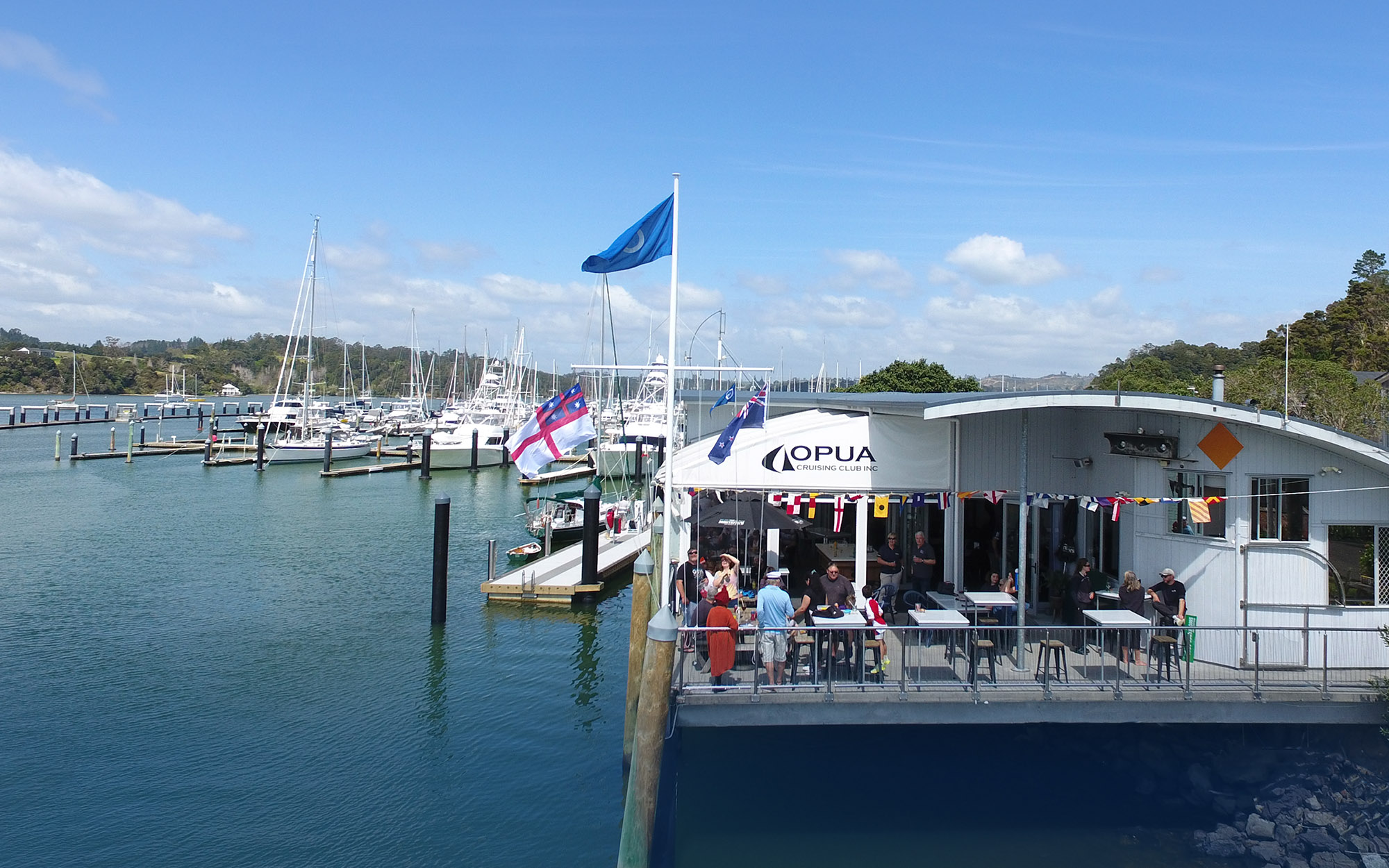
MetBob. Bob McDavitt is the weather guru that uses //etBoB to provide meteorological information for cruising sailors, primarily for those in the South Pacific.
Sudden stratospheric warming
A Sudden Stratospheric Warming (SSW) is a rapid increase in temperature in the polar stratosphere triggered by sinking air. These stratospheric warming episodes can filter downwards through the atmosphere, weaken the polar vortex and allow disturbed westerly winds to spread equator-wards.
The recent SSW is shown in the video below:
This weakened the polar vortex to weaken, allowing the polar jet stream to drag cold air away from Antarctica, and bringing more westerly winds than normal to New Zealand. This can be measured by negative values of the Southern Annular Mode (SAM), I use the AAO (Antarctic Oscillation) as a proxy for SAM and indeed the forecasts in red below are showing it may well be negative next few weeks:

This would make the following conditions more likely in
- More westerly winds= wet over the Southern Alps, hot and dry for Canterbury plains. Squally for Bay of Islands.
So that explains our recent dramatic weather.